
SEARCH & RESCUE
ENHANCE YOUR SEARCH & RESCUE OPERATIONS
IRIS Network provides thermal-capable drone support to strengthen Search & Rescue efforts, delivering real-time aerial intelligence that complement the expertise and bravery of ground teams. These tools offer critical visibility in challenging environments, helping responders locate subjects faster and coordinate more effectively while keeping human safety at the forefront.
Real-time Remote Monitoring
Live drone feeds stream directly to incident command and remote operations centers. This enables coordinators to monitor search progress, identify emerging risks, and adjust tactics in real time while ground crews remain the primary force on the scene.
Thermal Subject Detection
Thermal imaging detects heat signatures from people in low-visibility conditions such as darkness, dense foliage, or fog. This overhead capability assists ground teams in quickly narrowing search areas and prioritizing efforts where they are most needed.
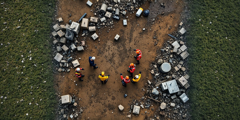
Personnel Accountability
Thermal and visual feeds from UAVs help track the location and status of search personnel from above. This added layer of awareness supports team leaders in maintaining accountability and responding swiftly to any safety concerns during extended operations.
Route Planning
IRIS Network delivers aerial views of terrain, hazards, and access points to support safer and more efficient route planning. This information helps ground teams select optimal paths, avoid obstacles, and reduce time in high-risk areas.
These capabilities enhance situational awareness and decision-making without replacing the critical work of SAR teams on the ground. IRIS Network is here to support responders when every moment counts.

APPLICATIONS
WILDERNESS & RURAL OPERATIONS
In remote or vegetated terrain, drones perform wide thermal scans to detect heat signatures. Pre-flight visual mapping informs efficient search patterns, while real-time feeds penetrate canopy and operate at night, delivering exact coordinates to reduce team exposure to hazards like steep slopes or weather.
URBAN & STRUCTURAL INCIDENTS
Unmanned Aircraft systems offer elevated views for missing persons or collapse events, using thermal imaging to spot individuals in debris or hidden areas and visual checks for safe structural assessments from afar. This supports rapid triage aligned with urban SAR protocols.
DISTASTER & MULTI-VICTIM EVENTS
In floods, wildfires, or large-scale incidents, UAS integrations enable broad monitoring to locate survivors and hazards. Infrared highlights heat differences, aiding casualty prioritization and integration with emergency management systems.
I.R.I.S. NETWORK
INTEGRATED REAL-TIME INCIDENT SUPPORT
SAR organizations may be able to gain access to these thermal-capable drone services at far below standard rates by applying to the IRIS Network. IRIS connects qualifying responders with certified pilots for on-demand support, helping you enhance operations without the burden of an internal UAS program.